Nordleden - Hiking trail
Bengtsfors/Gustavsfors
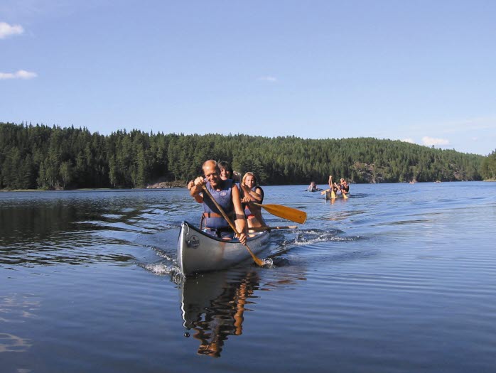
A very nice and varied one way hiking trail of 28 km. You can hike the trail and then paddle or rent a trolly to get back to where you started. You can also take the bus between Bengtsfors and Gustavsfors back to your starting point.
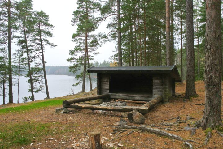
The Nordleden runs between Gustavsfors and Bengtsfors via Egersknatten in beautiful nature along Lake Lelång. The trail offers beautiful views and nice forest paths.
Nordleden
Length: 28 km
Type of trail: Straight
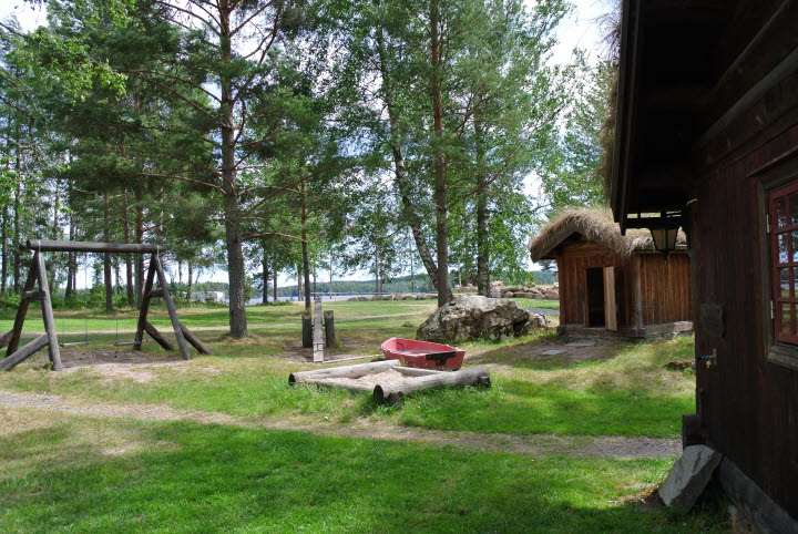
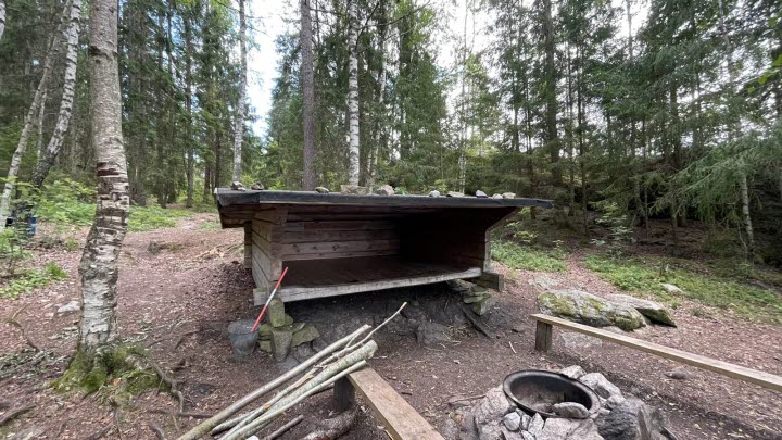
The starting point is Sågudden in Bengtsfors or Optimisten Supermarket in Gustavsfors. The trail is very hilly whits big rocks in parts and can be challenging for unexperienced hikers. There are two DANO wind shelters and fire places for over night stays located not far from the trail.
Parking
Available in Bengtsfors by Sågudden or in Gustavsfors near the guest harbour.
Trail marking
Orange marking. The trail is equipped and well marked.
Shelters on the trail
1.Campsite 58 Månsebäcken - fire place, toilet och wind shelter
GPS: 59.10847, 12.20624
2. Campsite 58 61 Taraldsön - fire place, toilet och wind shelter
GPS: 59.15273, 12.14775
Bus between Bengtsfors & Gustavsfors
If you choose to go one way, you can take bus 755 back.
Schedule and tickets
Egersknatten
The hiking trail Egersknatten is part of the Nordleden and is 2.5 km long, starting next to the road 172 north of Bengtsfors. The view is stunning and the top is a popular hiking destination.
Bengtsfors Turistbyrå
Tingshustorget
666 30 Bengtsfors
Phone: +46 531 52 63 55
E-mail: turist@bengtsfors.se
Website: To homepage


