
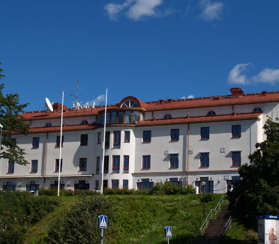


Hike at Klevaberget
Vegby, Ulricehamn
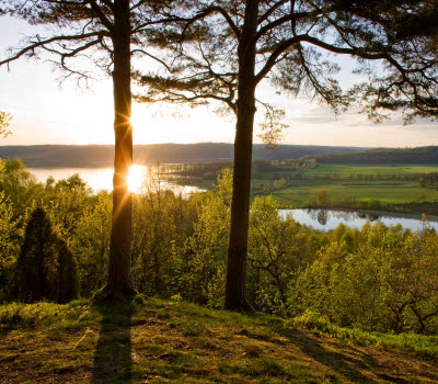
Start and ends in the beautiful village Vegby. Klevaberget is a summit at 238 meters above sea level. You can reach the top on both tracks. Chose between 7,8 kilometers or 3,6 kilometers.
The first part of the hike goes north on the old railway line embankment (perfect for bikecykling). Here are some resting areas where you can enjoy the view of the lake Åsunden. After an enjoyable and easy walk alongside the lake, you turn right in to the area of Klevaberget. Past an anciant grave, on winding forest paths and through leaf dressed nature.
Back in Vegby. Take a cooling swim in the lake Sämsjön, play some volleyball in the park, use the BBQ area, play Mini Golf or buy some ice cream in the grocery store.
Fact about the trail
Length:
7,8 or 3,6 km
Start and end:
Vegby. Parking available.
How to get here:
Public transport: There are buses with Västrtrafik going from Ulricehamn to Vegby. Check the time table and the departure times beforehand! There are frequent connections with public transport to Ulricehamn from both Jönköping and Borås.
Map:
Press here for a map of the route.
Ulricehamns Kommun Kultur & Fritid
Erik Johansson
Fritidskonsulent
Phone: +46 321 59 52 29
E-mail: Send e-mail


