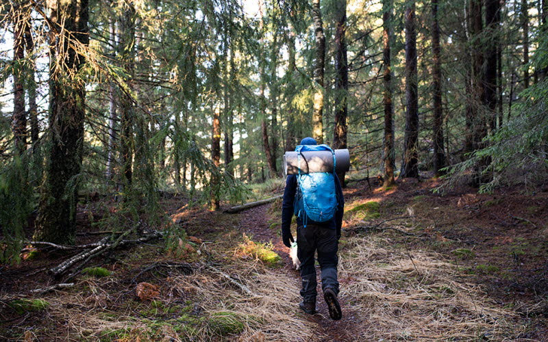
Hiking trails in Ljungskile
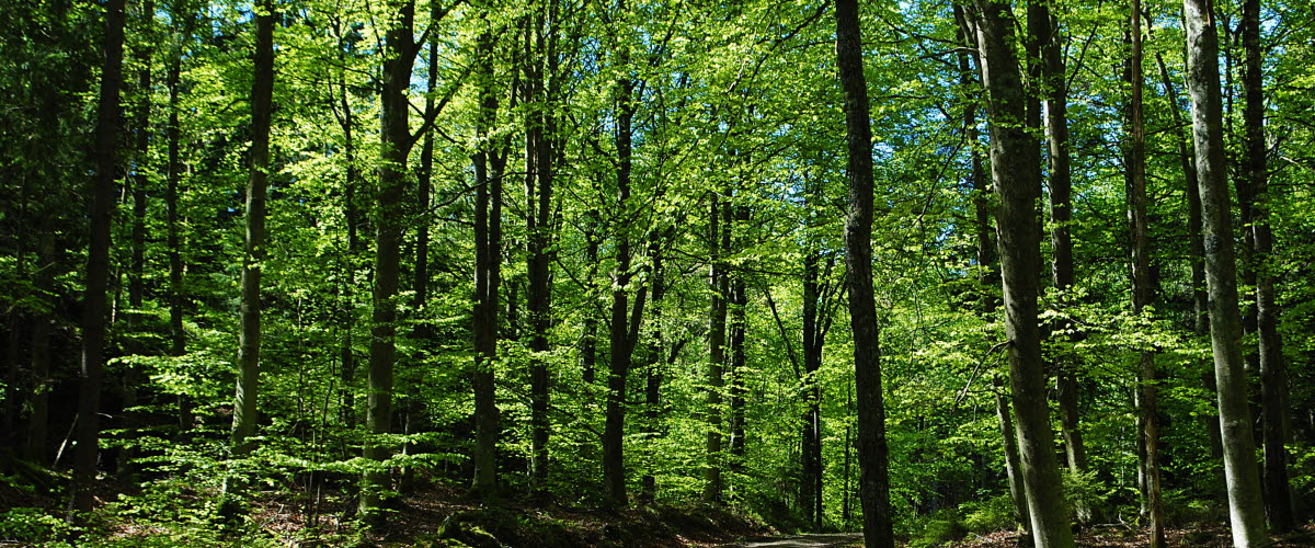
Hike in a balsamic climate, in a mixture of coniferous forest and sea air in a uniquely protected location.
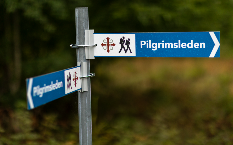
PILGRIMSLEDEN
Exciting and unique hike.
Pilgrimage along the coast in the heart of Bohuslän. Modern pilgrims have a longing for harmony as a counterbalance to lack of time, noise, division and the compulsion to always be available. The pilgrimage trail opens up the possibility of experiencing tranquility during a few days of hiking along the coast.
Something unique and exciting in Uddevalla is the pilgrimage route which is available in both Ljungskile and Uddevalla. It is a 64km long trail from Hjärtum - Ljungskile - Uddevalla. Here you pass blue mountains, rolling fields, old churches and deep blue lakes. The trail is well marked with its own pilgrim mark - mussel in fish.
SALT TILL SÖTT
A circular loop that you can choose to go clockwise or counterclockwise.
The easiest way is to start the trail inside the central station in Ljungskile. You can get there easily by bike, local transport or by car. From there, you can then decide if you want to go clockwise or counterclockwise. You can also park the car at the waterworks at the end of Skarsjövägen and enter the trail.
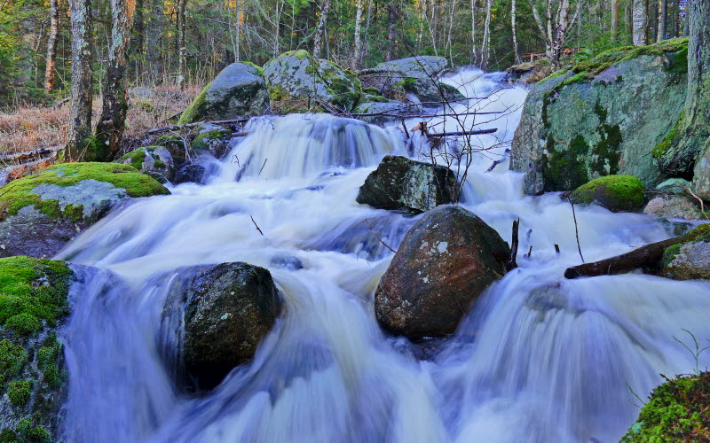
A walk that almost takes you to the shores of Ljungskileviken - the salty water, over the rushing Tjöstelserödsbäcken and through Tjöstelseröds gård - an older farm environment. Here the marking begins with wooden posts. The closest you pass is through a gate and you are thus in Tjöstelseröd's nature conservation area with mighty, ancient oaks and varied nature - pastures, cultivated land, brook ravines, mighty spruce forest and more.
Feel free to turn off the trail to be able to look up at Silverfallet. Return to the trail and hike into the stately spruce forest. After about 100 meters you can follow the yellow marking to Muntra's cave. Via the trail, you are just ahead of the bridges over the stream and can look down over the fall. Follow the stream upstream and cross the bridge. To the right, Lilla Skarsjön glitters between the trees.
The trail now takes you back to Ljungskile. Soon you will be in built-up areas.
Length: about 6.5 km. The path is slightly hilly with steep passages.
Time required: about 2-3 hours without breaks.
Marking: Blue poles and ribbons and signs with Kuststigen's logo.
Surface: Forest trails, asphalt and gravel.
SKARSJÖLEDEN
Nice and varied hike.
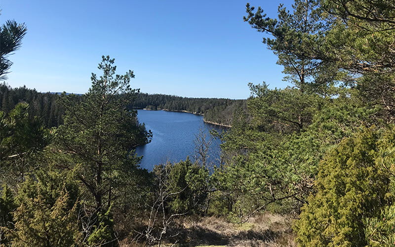
The Skarsjöleden runs, just as it suggests, around Stora Skarsjön just east of Ljungskile. The trail is demanding, but offers a nice and varied hike where the distance to the lake is rarely longer than a stone's throw. If you choose to spend the night along the trail, you can during the evening hear the great pocket's desolate song which is a peaceful element in the wilderness.
Along the trail there are several nice places to stop and take a break or take a dip. The trail is well suited as a day trip for those who hike, or as a technical trail for running.
The trail is a circular loop of approximately 8.5 km and is marked with red markings. The trail is very hilly and goes through block terrain so it can be experienced as very demanding. It is possible to park the car either at the car park at the waterworks at the far end of Skarsjövägen at the southern end of the trail or up at the exercise tracks on Norra fjället.
Length: About 8.5 km. The path is very hilly with steep passages.
Time: About 3-4 hours without breaks.
Marking: Red markings.
Surface: Forest paths, rocks and gravel.
BREDFJÄLLET
Majestic views of Ljungskile and fantastic hiking trails.
Bredfjället rises majestically over Ljungskile. One hundred meters above sea level, a hilly blueberry forest landscape spreads out. Here are popular fishing lakes and fantastic hiking trails through the mighty coniferous and deciduous forest.
If you want to experience both wonderful views and fantastic nature, Bredfjället is a plateau area east of Ljungskile, characterized by forests and bogs and a large number of lakes. Several small roads lead into the area which is crossed by paths. Among other things, the Bohusleden passes through the eastern part of the reserve. The Bohusleden is marked with orange markings.
Bredfjället offers many beautiful and interesting hikes, for example choose a trail according to interest - you will find, among other things, trails with themes about strong women, primeval forest or blue anemones. More information about these trails can be found in the Bredfjäll guide, which you can buy at Ica in Ljungskile or at Uddevalla Tourist Information.
You will find connections to the loop "Sea and Mountain" (Salt och sött) on Bredfjället, they are marked in yellow.
At Norra Fjället, LFK has built an outdoor center that offers a number of hiking trails and ski trails, all of which are open to the public. In total, there are about 50 km of trails and tracks that the club takes care of. Norra Fjället is a natural gateway to Bredfjället's outdoor area and a very popular area for all outdoor enthusiasts.
Like the other "mountain areas" in the interior of Bohuslän, Bredfjället was an almost treeless country during the 18th and 19th centuries. It was largely characterized by agriculture on the many small farms, where all the arable land was used as arable land and the barren, heather-covered outfields were used for grazing. Many cultural-historical relics remain and can tell of a hard life and poverty.
A more detailed map from Ljungskile leisure club can be purchased at Uddevalla Tourist Information, among others.


