Slussrundan
Trollhättan
Follow Trollhätte canal from the locks in the south all the way to the island Spikön and the railway bridge in the north and back. Slussrundan is a 7.5 km long walk that allows you to discover several popular places in Trollhättan, you can also easily make detours to even more places such as Trollhättan's Waterfall and Olidan power station.
Quick facts
Length: 7.5 km
Time required: 1.5 hours
Difficulty: easy
Terrain: paved roads and flat nature trails, slightly hilly terrain and stairs
Follow Trollhätte canal
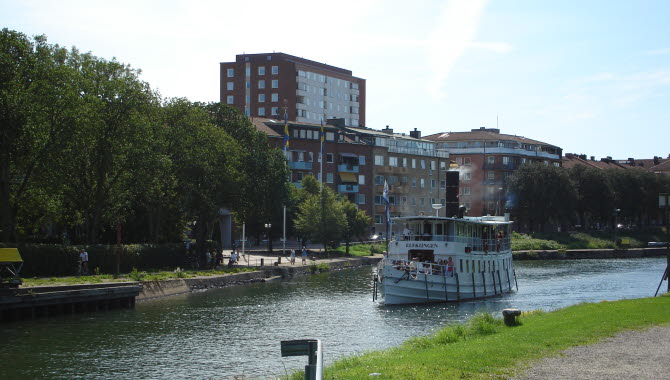
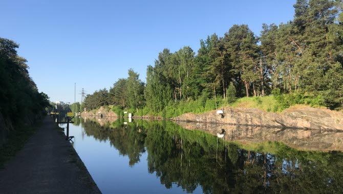
Slussrundan , or The Lock Walk, runs along Trollhätte canal on both the east and west sides. While walking, you can see boats heading either north towards Lake Vänern or south towards Gothenburg. The trail is easy to follow as you always have the water on either your right or left side, or both sides, and it is never far away. In the city center there are paved roads but when you get to the west side towards the locks you have a little more of nature trail on some parts.
Along the water are several of Trollhättan's main attractions, therefore the walk is a strong recommendation for you who are here for the first time.
Places to visit and places for a break
Trollhätte canal flows straight through Trollhättan and offers several exciting sights and places to visit along the way. See the locks, visit the Saab Car Museum or Innovatum Science Center or why not take a detour and see Olidan's hydroelectric power station, see the view from Kopparklinten or visit one of the playgrounds in the city center. Slussrundan encourages you to discover the places along the trail and to stop when you find something interesting.
When you pass the city center along Strandgatan street, you can also take the opportunity to sit down at one of the restaurants either there or one or two blocks inwards the city. If you have your own coffee with you, you can sit down for a while on the beautiful island Spikön on the other side of the canal or down by Trollhättan's lock area.
Trollhättan's Canal Walks
Slussrundan together with Spikörundan (Nail Island Walk) and Innovatumrundan (Innovatum Walk) are included in Trollhättan's Canal Walks. These three walks gives you not only beautiful views but also a wide range of exciting attractions to visit along the Trollhätte canal. Slussrundan includes the other two walks, so if you are looking for shorter walks, these two are excellent. Spikörundan, which is 2.5 km, goes over the island Spikön and along Strandgatan street in the city center while Innovatumrundan of 5 km also goes down towards the Innovatum District and back.
Fact about the trail
Length:
The Slussrundan is 7.5 kilometers long.
Approximate times:
The walk takes about 1.5 hours.
Marking:
Gray signs with red markings and the name Slussrundan.
Level of difficulty:
Easy - the trail is on paved roads and on smooth nature/gravel paths. Slightly hilly terrain in some places and you pass a couple of stairs.
Start and end:
You can start the Slussrundan wherever you want along the trail.
How to get here:
The Slussrundan is located in the central parts of Trollhättan and is easy to find if you are, for example, on Spikön, Strandgatan in the city center of Trollhättan or by the lock area.
Map:
A digital map of the trail can be found on Google Maps.
An overview map of Trollhättan's canal walks can be downloaded here (PDF).
Trollhättans Stad
Gärdhemsvägen 9
461 83 Trollhättan
Phone: +46 520 49 50 00
E-mail: Send e-mail
Website: To homepage


