Kuststigen Nordens Ark - Anneröd
Sotenäs
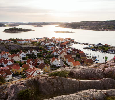
On this part of the Kuststigen, which is also the first stage of the Soteleden, you’ll experience the Bohuslän coastline with all its spectacular and varied landscapes. Explore Nordens Ark Zoo and the Anneröd beech forest in Bovallstrand.
Quick facts
Length: 10 km
Timing: around 4-5 hours
Difficulty: moderate
Terrain: forest paths, agricultural land, some hilly parts.
Nature and cultural experiences by the Åby fjord
Along this section of the Kuststigen there’s a wealth of nature and cultural experiences that bear witness to how people used to live here, long ago. There are many ancient remains in the area, the Åbyristningen petroglyphs being the best known of them, deemed to be some of Sweden’s most beautiful rock carvings. You can also visit Åby Säteri, a listed manor house dating back to the 1300s.
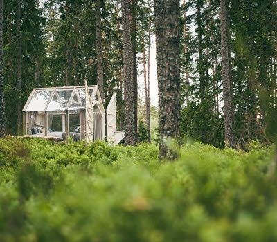
The hike takes you through age old farmland enclosed in parts by high cliffs. One of Sweden’s northernmost naturally occurring beech forests, Anneröd, can be found here. Along the trail there are wind shelters and walkers huts where you can cook al fresco and rest your legs.
Say hello to the animals at Nordens Ark
The popular zoo Nordens Ark, where you’ll meet around 80 species of endangered animals from all over the world, is situated next to Åby fjord. It’s easy to spend an afternoon here strolling round the lovely surroundings and spotting the animals, like wolves, snow leopards and amur tigers. The area around Nordens Ark is completely protected so be aware that there is a total ban on lighting fires here all year round. No dogs are allowed alongside the Åby fjord and you must stick to the path in this stretch as well.
Photographer: Erik Edvardsson
Fact about the trail
Length:
This stage is a total of 9.8 km in length.
Approximate times:
This stage takes around 4 to 5 hours to walk.
Marking:
This stretch is part of both the Kuststigen and the Soteleden. The Kuststigen is waymarked by name and in blue. The Soteleden is waymarked with blue/white marks on posts and trees and cairns in some places. There are good maps of the path (see more under Maps).
Level of difficulty:
This stage is classed as moderate and can be boggy and steep in parts. The scenery and nature is varied, with forests and agricultural land with ancient remains. In hilly areas the path is undulating.
Start and end:
This stage starts at Gateway Nordens Ark, where there is both a car park at Nordens Ark and the Nordens Ark bus stop which can be reached on the 860 bus.
How to get here:
Nordens Ark is in the county of Sotenäs which is easy to get to by both car and bus. Direct buses from Uddevalla take around an hour to get here and from Gothenburg it’s around 2 hours by bus, (changing in Uddevalla). It takes around 80 minutes by car to drive from Gothenburg to Nordens Ark.
Map:
A digital map of the trail can be found on Google Maps and the Sotenäs website. Map brochures can be purchased in, amongst other places, Tourist Information Centres in the area, and be downloaded from the Sotenäs website.
Sotenäs Turistinformation
Kommunhuset, Parkgatan 46 (sommartid: Ångbåtspiren)
45631 Kungshamn
Phone: +46523 665550
E-mail: info@sotenasturism.se
Website: To homepage


