Around Lake Flämsjön
Eggby-Lerdala
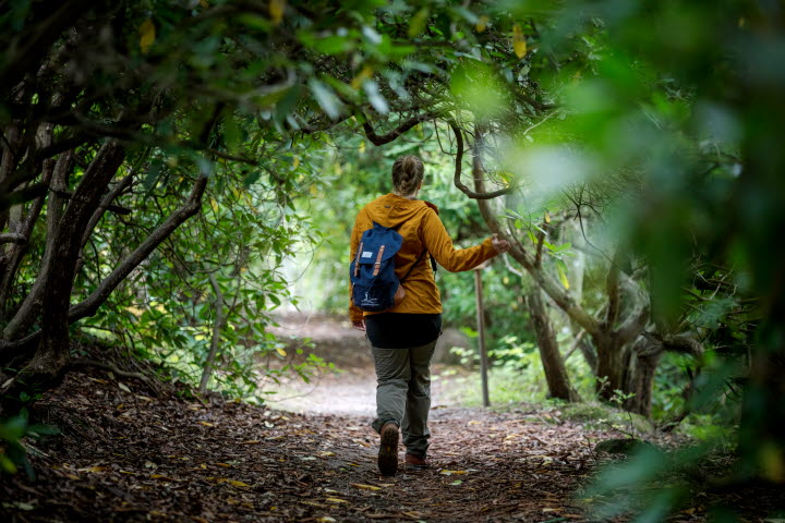
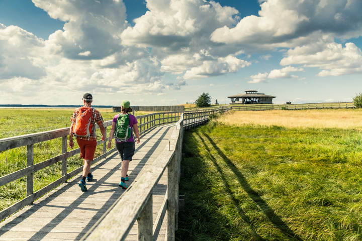
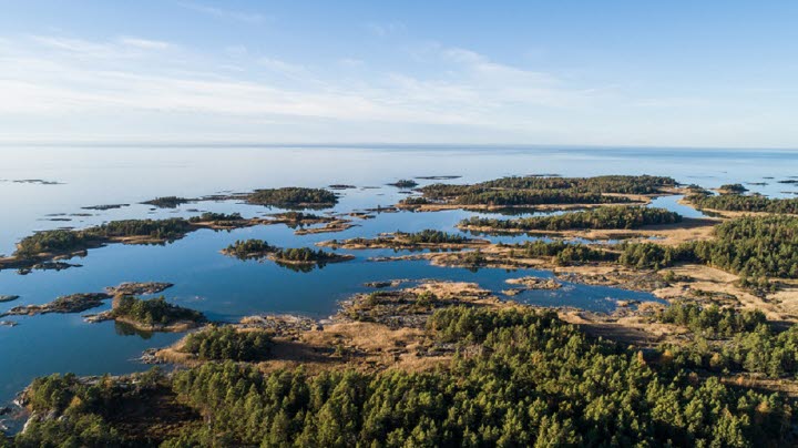
A scenic and varied hike along charming small trails, forest roads and smaller gravel roads, through pastures with oak and broad-leaved woodland. The route passes close to Lake Flämsjön at certain points, and you also pass through Remningstorps arboretum and Eahagen nature reserve.
Quick facts
Length: 9 km
Time required: 2-3 h
Level of difficulty: medium
Terrain: paths, forest roads and gravel roads. Sometimes through cow pastures.
Remningstorps Arboretum and Bockön
At Lake Acksjön you pass Remningstorps arboretum, an exciting and well signposted collection of trees from the entire northern hemisphere. Right next to the arboretum is Bockön, a small peninsula that juts out into the lake. There large old oaks grow in a circle around the peninsula. There is also a barbecue area near the shore, the perfect spot for a bite to eat. Keep to the right where the path divides, just after the arboretum.
Eahagen nature reserve and Öglunda
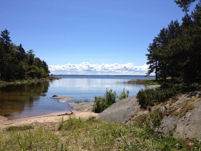
Eahagen and Öglunda are part of the gently hilly kame landscape featuring hills, moraine ridges and depressions. The nature reserve is home to a mosaic of broad-leaved woodland and small open pastures. The trees consist of oak, elm, ash, Swedish whitebeam, linden and sweet cherry trees. Among the shrubs are hazel, dog roses, juniper and common hawthorn. Spring pea, lungwort, coralroot bittercress, common Solomon’s seal, ox-eye daisy and cowslip are among the plants in the area. Bird life is abundant, with species such as spotted nutcrackers, treecreepers, wood warblers, blackcaps, nightingales and woodpeckers. There is a lovely small bay by lake Ämten.
Read more about the Valle region.
Bathing opportunities along the trail
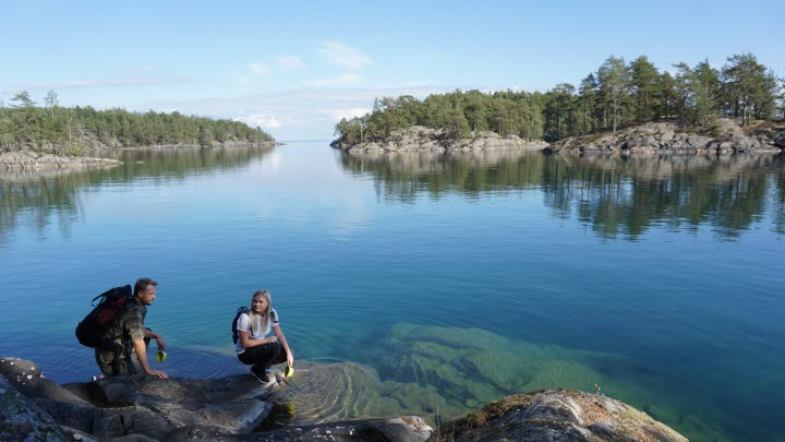
Between Flämsjön and Ämten you walk along a narrow moraine ridge, where there is the opportunity for a swim in the small sandy-bottom bay. If you prefer to jump from a jetty, there is a popular bathing spot at Flämslätt.
Photographer: Tobias Andersson
Stay and eat next to the trail
If you want to stay overnight as part of your hike, you can choose Flämslätt Stifts- och kursgård, which is a larger modern hotel, hostel and conference centre. Here you can also enjoy good food prepared using locally produced ingredients, or just buy ice cream or sweets at the reception. If you feel like taking a cooling dip, there is a lovely bathing spot close by that is known for its clear water and pleasant temperature.
Just a stone’s throw from the hiking trail you will find Fredriksons Vilt, Vin & Pensionat if you would prefer a small, picturesque guest house with the personal touch. On the glass veranda with a view of the lake, you can enjoy the delicacies served by Margaretha, your host.
Sjöbacken gård is a charming Bed & Breakfast located less than a kilometre from the hiking trail. Here you have a view of rolling pastures and are close to Hattaren, a smaller lake suitable for swimming. You stay in a 150-year-old soldier’s cottage with grazing cows, Gotland sheep, goats and chickens that roam around freely. The link to the trail is not marked, but there is a good path/gravel road that is relatively easy to find.
Photographer: Jonas Ingman
Gröna Husets vandrarhem in Eggby is a cheaper option with clean rooms with en suite toilet and shower, located 1.5 km from the hiking trail near the Eahagen car park.
Along the trail there are also a number of simple barbecue areas, mainly on the west side of Flämsjön. They are located in Eahagen, near Mellombergen, on Bockön near Remningstorps arboretum, along the trail on the west side just before Flämslätt and also alongside the bathing spot at Flämslätt. Remember to extinguish the fire properly when you leave the site.
Carry on hiking
In the Valle region there are around 60 km of marked and continuous trails. You can therefore easily carry on hiking towards the Jättadalen-Öglunda cave or Höjentorp-Drottningkullen nature reserves.
Fact about the trail
Length:
Around Flämsjön hiking trail is about 9 km long
Approximate times:
In an hour you can walk just over three kilometres in normal conditions, so expect the whole hike to take 2-3 hours.
Marking:
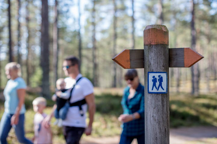
The trail is marked with posts featuring a blue band with a white cherry blossom and the text “Valle – Flämsjön runt”.
Level of difficulty:
The trail’s level of difficulty is easy to medium. The trail uses paths, forest roads and gravel roads through a very varied landscape, sometimes with grazing animals. Some stretches may require boots in some seasons.
Start and end:
There are several options for parking your car:
- Flämslätt Stifts- och kursgård
- Eahagen car park
- Mellombergen along the road north of Eggby
- The car park along the road towards Slättäng
How to get here:
The Valle region with Flämsjön is located between Skara and Skövde, about 15 minutes by car from Skara and about 20 minutes by car from Skövde. Turn off road 49 at the sign for Eggby, Lerdala and Flämslätt. Follow the road for about 10 km until you reach Flämslätt on the right of the road.
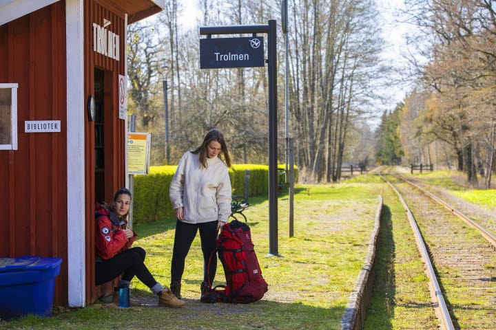
It can be difficult to get here by public transport, but there are a couple of buses in the morning and afternoon from Skara that stop at the Flämslätt bus stop. You may need to pre-book with Västtrafik on tel. +46 (0)771-919090 no later than 1 hour before departure from Skara. More information can be found on Västtrafik’s website where you can search for your stops. vasttrafik.se
You can also order Local Services (Närtrafik) at other times. Find out more here.
Map:
The “Vandra i Valle” (Hiking in Valle) map is available from the tourist information point at Skara Stadshus and at certain InfoPoints and accommodation facilities in the area. You can also download it here.
You can find a digital map of Around Flämsjön on Google Maps.
Below you will also find a map of Around Flämsjön only in printable format. (pdf)
Quick facts
Length: 9 km
Time required: 2-3 h
Level of difficulty: medium
Terrain: paths, forest roads and gravel roads. Sometimes through cow pastures.
Skara Kontaktcenter i Skara Stadshus
Södra Kyrkogatan 2
53239 Skara
Phone: +46 511 32500
E-mail: upplevskara@skara.se
Website: vastsverige.com/skara


