Pilgrim Trail Dalsland
Vänersborg - Bengtsfors - Åmål
The Pilgrim Trail in Dalsland is a varied hiking trail that takes you through the entire province of Dalsland. It is over 100 km long and takes you across the flat farmland in the south and through the wild forrests and mountains in the north.
The pilgrimages in Sweden lasted for about 500 years, from 1050 to 1550. They were banned by Gustav Vasa in 1527, but lasted for a few more decades. Many of the pilgrims came by boat from Västergötland to Sunnanå, from where they continued north towards the final destination - Nidaros via Edsleskog.
Quick facts
Length: 100 km
Timing: 4-5 days
Markings: Signs and orange marks
Difficulty: Moderate, but difficulty varies depending on which part of the trail you walk.
Terrain: forest paths, agricultural land, some hilly parts.
One trail - two types of terrain
The entire Pilgrim Trail in Dalsland stretches from Vänersborg in the south to Edsleskog in Åmåls municipality in the north. From Vänersborg to Upperud, you mostley walk along country roads with very little trafic with a lot of framland and many medieval churches. In Upperud, the hike changes character to a really beautiful wilderness trail. For those who want to experience authentic Dalsland primeval forest, a hike along the northern part of the Pilgrimsleden is recommended.
Photographer: Sara Arnald
Stretch: Vänersborg - Sikhall camping
19 km
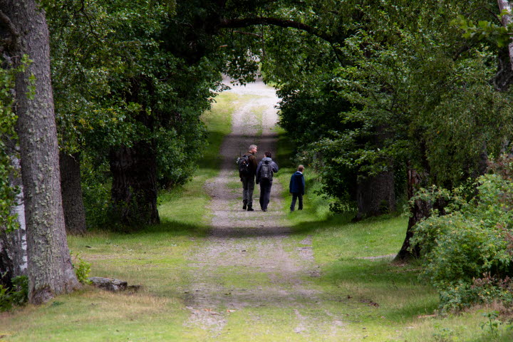
The Pilgrim trail is a continuation of the Lödöse trail that ends in Vänersborg. It crosses the lush Dalbo plain, mostly along low-traffic country roads. This means that this stretch is really easy to walk.
The pilgrim trail starts just north of Dalbobron in Vänersborg. Follow the pilgrim signs north along the western side of Lake Vänern and pass Ursand's campsite. The trail continues north and takes you through two cottage areas, Stigsberget and Bäsingebol. Just north of these, the trail connects to the old country road you then follow. Eventually you will reach Sikhalls Camping, where you can camp, have some coffee and do some small food shopping.
Photographer: Sara Arnald
Stretch: Sikhall camping - Holms Kyrka
29 km
Continue across the Dalbo plain on country roads surrounded by fields, pastures and farms. If you want somthing to eat, take a detour to Nuntorp Gård, they have lunch and pizza. You pass many beautiful churches along the way. Feel free to make a stop at Grinstad church with the sloping tower and Grinstad country grocery store.
Before Holm’s church, the trail passes the outskirts of the built-up area of Mellerud. Near the trail is Vita Sandar’s Camping and right next to that is Mellerud’s golf club, both of which offer accommodation and food. Please note that there are no facilities for accommodation or provisions at the end of the section at Holm’s church, which is about 3 km outside the town centre of Mellerud.
The first two sections of the trail are also excellent for cycling. The landscape is flat and there are not a lot af trafic on the roads.
Photographer: Sara Arnald
Stretch: Holms Kyrka - Upperud
15 km
Now the trail enters a wilder landscape and you leave the country road behind you. The stretch between Holm's church and Edsleskog is classified as moderately difficult.
The trail continues north and passes Linderud's farm, crosses the busy road E45 and through the Svankila nature reserve. Your goal is Upperud and the hiking center Upperud 9:9, where there is a café, accommodation and information about the trail.
In Upperud, you do not want to miss Dalsland's art museum. Here you can look at art and exhibitions and enjoy the view from the museum café. If you want to make another detour, the famous aqueduct in Håverud is only 2.5 kilometers away. In the area Upperud / Håverud there is a large selection of accommodation, food and different types of places to visit!
Photographer: Sara Arnald
Stretch: Upperud - Högelund
16 km
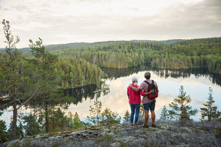
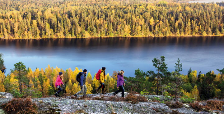
After Upperud, the Pilgrim Trail changes character and becomes a true wilderness trail.
The hiker will experience fascinating countryside with various types of woodland and many lakes where you can swim. The trail mostly follows small paths and occasionally offers tougher stretches in very hilly terrain. The reward is the very best viewing points in the area. The goal is the secluded village of Högelund. Here is a camp site with an overnight cabin for four people.
As it is about 46 km to the end of the section in Edsleskog you should plan and pack for an overnight stay in a tent or wind shelter.
Photographer: Sara Arnald
Stretch: Högelund - Edsleskog
21 km
The last section of the Pilgrim path between Högelund and Edsleskog also offers some powerful countryside experiences. Ancient forests, lakes and long ridges largely characterize the countryside. Three campsites are strategically placed at lakes and viewing points along this section. The end of the section, and the end of the Pilgrim path as a whole, is at the ruins of the old church in Edsleskog. During the Middle Ages, the church had its own saint and indulgence rights and was therefore a very important destination for pilgrims.
For those who want to treat themselves to a night in a comfortable bed, Edsleskogs Wärdshus is a nice place to stay the night.
Hike between Edsleskog and Åmål on Storspåret (20 km)
In Edsleskog, the Pilgrim trail joins another trail, Storspåret, which runs between Edsleskog and Åmål. It is about 20 km. From Åmål, buses and trains leave towards Mellerud and Vänersborg. From Edsleskog there are also buses going to Bengtsfors / Ed and Åmål. Visit the page www.vasttrafik.se for routes and timetables.
Maps to download
Map of the entire trail (June 10, 2019)
Map page 1 (version 4 juli 2019)
Map page 2 (version 4 juli 2019)
Map page 3 (version 4 juli 2019)
Map page 4 (version 4 juli 2019)
Map page 5 (version 4 juli 2019)
The northern part of the pilgrim trail
The northern part of the pilgrim trail is the most popular stretch of the trail. Here you can read more about the northern part of the route and how you can continue your journey all the way to Åmål via Storspåret.


