The Gotaleden
Gothenburg - Vårgårda
The Gotaleden is a 99 kilometre walking trail between Gothenburg and Vårgårda in West Sweden. Beautiful nature, pitstops near to town and proximity to train stations characterise this trail.
Quick facts
Length: 99 km
Timing: approx. four-five days
Difficulty: moderate
Terrain: forest paths, urban environments and fields
Nature experiences close to the city
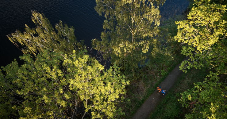
The Gotaleden is a walking trail close to the city, which has been divided into twelve stages covering a total of 99 kilometres. Proximity to train stations on the different stages makes it easy to adapt the walk as you want. Natural landscapes along the trail are varied and beautiful, with lakes you can swim in, fantastic viewpoints and undulating countryside.
Start your walk in the centre of Gothenburg
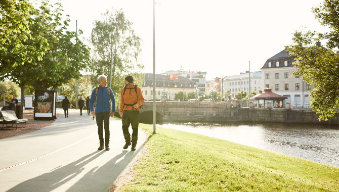
The trail starts (or finishes) in Kungsportsplatsen right in the centre of Gothenburg. From here the trail leads out of the city, along leafy tree lined avenues. Before long you come to Delsjön’s nature reserve, where the many exercise tracks are well used by families and sports clubs. It doesn’t take long however before the hubbub fades away, and the peace and quiet of the countryside takes over.
Photographer: Jonas Ingman
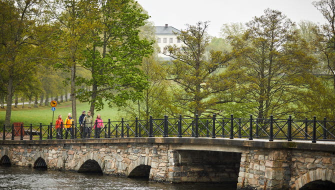
Don’t miss the view from Getryggen, which is a huge granite plateau overlooking Skatås. From here there’s an extensive view of Gothenburg’s western side. You’ll pass several nature reserves along the trail. One of the loveliest is Säveåns nature reserve, full of bird song, salmon swimming up the river, trees felled by beavers, oceans of wild anemone hepatica, and several picnic areas.
Photographer: Jonas Ingman
Lots of places to fill up in along the way
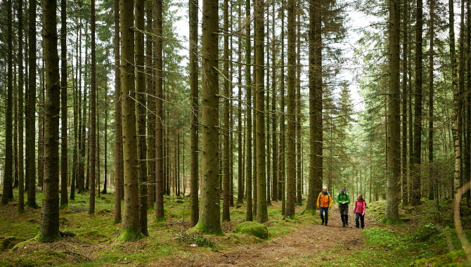
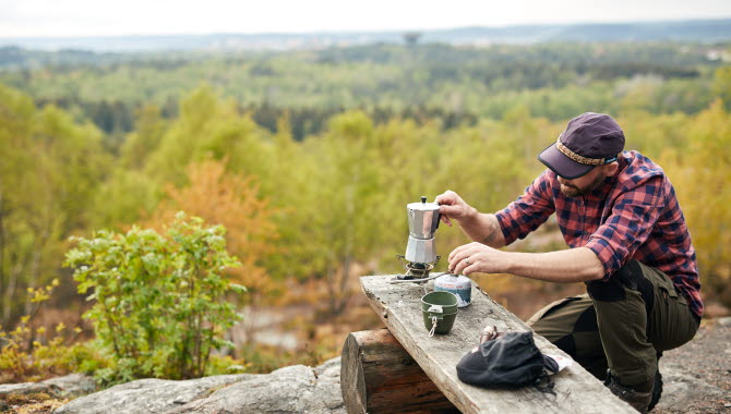
There are plenty of picnic areas and shelters along the trail, as well as cosy accommodation and good locally produced food.
Photographer: Jonas Ingman
Floda is home to Jernbruket, a lovely restaurant in an old storehouse that used to belong to Floda Ironworks. Most of the food is prepared on the restaurant’s wood fired grill.
Aspenäs Herrgård is another place along the trail where sustainable and authentic West Swedish food experiences are the main focus. As a bonus you’ll also get a lovely view of Lake Aspen. This beautiful historic manor offers both food and accommodation. Make sure you don’t miss the cafe culture in Alingsås – Sweden’s fika capital. You’ll find lots of charming cafes where you can enjoy a fika, such as Ekstedts bakery and café and Nolbygårds organic bakery and café.
Photographer: Jonas Ingman
Cultural treasures and historic settings
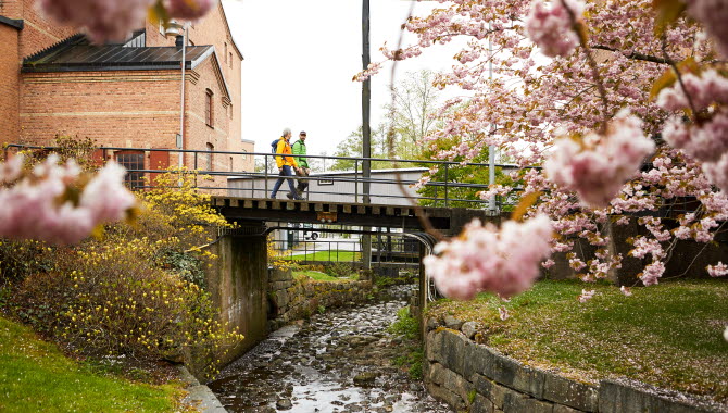
Historic environments is a recurring theme as you walk the Gotaleden. Check out Jonsereds Fabriker, a former industrial area with a number of handsome, well preserved industrial buildings, housing the Poppels microbrewery, amongst others.
Photographer: Jonas Ingman
Tollered is another old industrial site along the route, where you’ll find Nääs Fabriker, which offers accommodation, food, a wonderfully relaxing spa area and lovely shops, all in beautiful surroundings by Lake Sävelången. The whole Nääs area is home to a unique mixture of nature and culture in the borderland between town and country. Nääs Castle is one of the best preserved 19th century buildings in Scandinavia, with guided tours of the castle, food, accommodation, nice shops, horse riding, a craft gallery and a building conservation centre.
Photographer: Jonas Ingman
Accommodation in the centre of Alingsås includes the historic Grand Hotel, dating back to the beginning of the 20th century.
Fact about the trail
Length:
The trail is divided into 12 stages and is 99 kilometres in total. The length of each stage is detailed below. To read more about the stages visit gotaleden.se.
- Stage 1 - Gothenburg - Skatås 6.2 kilometres
- Stage 2 - Skatås - Kåsjön 9.3 kilometres
- Stage 3 - Kåsjön - Jonsered 7.5 kilometres
- Stage 4 - Jonsered - Lerum 9.8 kilometres
- Stage 5 - Lerum - Floda 8.0 kilometres
- Stage 6 - Floda - Tollered 5.5 kilometres
- Stage 7 - Tollered - Norsesund 9.4 kilometres
- Stage 8 - Norsesund - Västra Bodarna 4.6 kilometres
- Stage 9 - Västra Bodarna - Alingsås 10.3 kilometres
- Stage 10 - Bus Alingsås - Hol
- Stage 11 - Hol - Horla 10 kilometres
- Stage 12 - Horla - Vårgårda 12 kilometres
Approximate times:
The whole stretch from Gothenburg to Vårgårda can be walked in four-five days, but it’s also easy to shorten it using public transport. You’ll find an estimate of each stage’s timing excluding rest stops.
- Stage 1 - Gothenburg – Skatås: approx. 1 hour
- Stage 2 - Skatås – Kåsjön: approx. 2.5 hours
- Stage 3 - Kåsjön – Jonsered: approx. 2 – 3 hours
- Stage 4 - Jonsered – Lerum: approx. 2 – 3 hours
- Stage 5 - Lerum – Floda: approx. 2 hours
- Stage 6 - Floda - Tollered: approx. 1.5 hours
- Stage 7 - Tollered - Norsesund: approx. 2.5 hours
- Stage 8 - Norsesund - Västra Bodarna: cirka 1 hour
- Stage 9 - Västra Bodarna - Alingsås: approx. 2.5 hours
- Stage 10 - Bus Alingsås - Hol: 20 minutes
- Stage 11 - Hol - Horla: approx. 2-3 hours
- Stage 12 - Horla - Vårgårda: approx. 2-3 hours
Marking:
The trail is marked with blue and a walking symbol with the text "Gotaleden".
- In urban areas it’s a metal sign (20 x 30 centimetres)
- In the forest it’s a ribbon (7 centimetres high) or a metal plate (8 x 8 centimetres)
In some places there are fewer waymarks, so just follow the path or the road. Crossroads where the trail changes direction are always clearly marked.
Photographer: Jonas Ingman
Level of difficulty:
On the whole the trail is easy to moderate, but this can vary a lot depending on which section you are walking. There’s more detailed information below about the different stages and their respective classification.
- Stage 1 - Gothenburg – Skatås: This stage is classed as easy. The stretch is easily walked in the city and slightly hilly in the nature reserve.
- Stage 2 - Skatås – Kåsjön: This stage is classed as easy to moderate, with some parts that are steep.
- Stage 3 - Kåsjön – Jonsered: This stage is classed as easy to moderate and is on the whole easily walked, mostly on forest paths.
- Stage 4 - Jonsered – Lerum: This stage is classed as hard, as parts of Goråsbergen hill are demanding, but once you’ve passed that it is very easily walked.
- Stage 5 - Lerum – Floda: This stage is classed as easy.
- Stage 6 - Floda - Tollered: This stage is classed as easy and passes through varied and undulating landscapes, including both fields and pine forests.
- Stage 7 - Tollered - Norsesund: This stage is classed as moderate.
- Stage 8 - Norsesund - Västra Bodarna: This stage is classed as easy.
- Stage 9 - Västra Bodarna - Alingsås: This stage is classed as moderate, with walking in the town as well as along lake shorelines.
- Stage 10 - Alingsås - Hol: This stage is currently covered by a bus route.
- Stage 11 - Hol - Horla:This stage is classified as easy to moderately difficult and mostly follows forest trails.
- Stage 12 - Horla - Vårgårda: This stage is classified as easy and mainly follows gravel roads through beautiful rolling landscapes.
Photographer: Jonas Ingman
Start and end:
- Stage 1 - Gothenburg – Skatås: This stage passes through the municipality of Gothenburg. It starts in the centre of the city outside the Tourist Information Centre on Kungsportsplatsen. It’s easy to get there on most trams or via a short walk from Gothenburg’s Central Station.
- Stage 2 - Skatås – Kåsjön: From the centre of Gothenburg Skatås recreation centre is just a tram ride away, on tram line 5 (the Welandergatan stop, approx. 1 kilometre walk from Skatås). There is also plenty of parking in Skatås.
- Stage 3 - Kåsjön – Jonsered: This stage starts in Kåsjön in the municipality of Partille. It’s easy to get the bus from the centre of Gothenburg or Partille, and get off at the Kåsjön stop, right next to the trail. From Gothenburg there’s a direct bus (a journey of around 40 minutes). From Partille it’s a 10 minute bus ride. By car it’s approx. 20 minutes from the centre of Gothenburg.
- Stage 4 - Jonsered – Lerum: This stage starts at Jonsered in the municipality of Partille. Jonsered station is right next to the start of this stage, as is the Jons väg (road) bus stop which is along the trail, about 50 metres from the start. Commuter parking is available at Jonsered station. Regular trains leave from Gothenburg’s Central Station, with a journey time of 12 minutes. The Gul Express bus from Gothenburg takes approx. 30 minutes to get to the Jons väg bus stop. It’s 20 minutes by car from Gothenburg.
- Stage 5 - Lerum – Floda: This stage starts in the centre of Lerum. Travel by train or car from the centre of Gothenburg to Lerum station in around 20 minutes. There’s plenty of parking.
- Stage 6 - Floda - Tollered: Stage 6 starts in the town of Floda. Floda station is right next to the trail, and is accessible by a train or car journey of around 30 minutes. There’s parking next to the station.
- Stage 7 - Tollered - Norsesund: The Tollered bus stop is next to the trail, and regular buses travel there from Floda station, a journey of around 15 minutes.
- Stage 8 - Norsesund - Västra Bodarna: The start of this stage is by Noresund station, a train or car journey of around 35 minutes from the centre of Gothenburg.
- Stage 9 - Västra Bodarna - Alingsås: Stage 9 starts by Västra Bodarna station, a train or car journey of around 35 minutes from the centre of Gothenburg.
-
Stage 10 - Alingsås - Hol: This stage is currently a bus route, taking you from Alingsås to Hol Church.
-
Stage 11 - Hol - Horla: The stage starts in the small village of Hol, near Dahlbogården Hotel, Café, and Restaurant. The nearest bus stop is Hol Church.
- Stage 12 - Horla - Vårgårda: This stage begins at Lake Storsjön, just south of the village of Horla. You can reach it by bus from Vårgårda, with the bus stop called Storsjön.
Photographer: Jonas Ingman
How to get here:
The trail stretches from Kungsportsplatsen in Gothenburg via Partille and Lerum and Alingsås and on to Vårgårda. Stages 1 and 2 start in the municipality of Gothenburg and continue into the municipality of Partille and then the municipality of Lerum. Stages 5-7 are in the municipality of Lerum, stages 8-9 in the municipality of Alingsås and the last three stages in the municipality of Vårgårda.
Map:
A digital map of the trail can be found on karta Google maps.


