

Download maps to Dalsland´s hiking trails
- 03 Jul, 2020
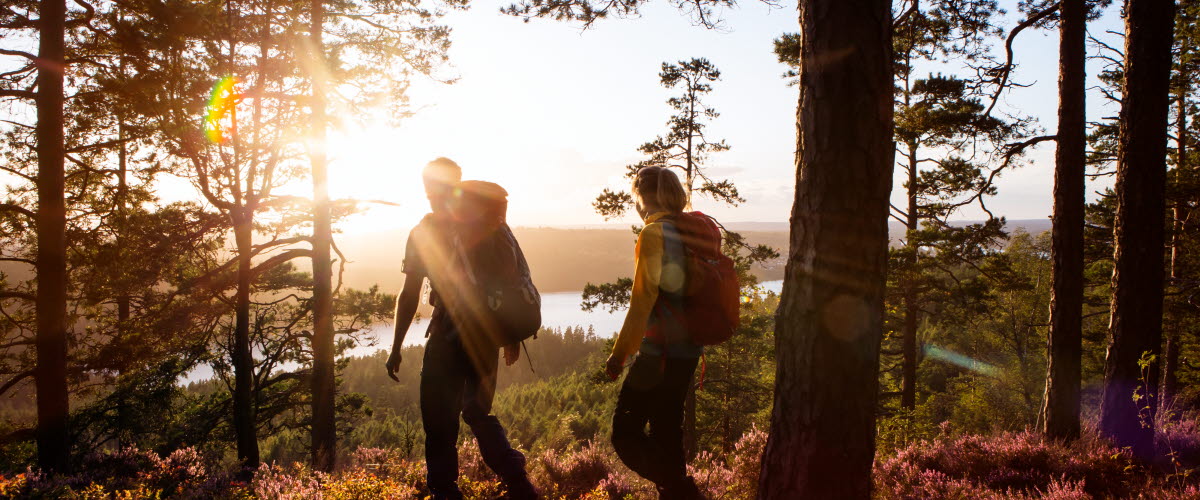
Downloadmaps to our most popular hiking trails in PDF. The information in the maps are in Swedish but the maps are quite easy to navigate.
If you have any questions or need more information, read more about the hiking trails on our hiking site or contact the Tourist information office in the area you would like to hike.
In the Bengtsfors area
Lysetjärnsleden
Round trip hike 5.2 km
Baldersnäsleden
Round trip hike ca 5 km
Brändaberget
Round trip hikes 9-11 km
Egersknattenleden
Hiking A-B 5 km
Högsbyn Tisselskog
Round trip hike ca 3 km
Kärleksstigen
Round trip hike 1.2 km
Stenebyleden
Round trip hike 1.2 km
Torrskogsleden
Different round trip hikes 2.5-25 km
Pilgrimsleden
Hiking A-B 100 km
More information about hiking in Bengtsfors
In the Dals-Ed area
Tresticklans Nationalpark
Round trip hikes 8-20 km
Motionsgården Tavlan
Round trip hikes 4.2-22 km
More information about hiking in Dals-Ed
In Mellerud / Färgelanda
Karl XII väg
Hiking A-B 15 km
Kroppefjäll
Round trip hikes 1-14 km
Pilgrimsleden
Round trip hike A-B 100 km
More information about hiking in Färgelanda
In the Åmål area
Kednäs
Round trip hike 2.5 km
Yttre Bodane
Round trip hikes 1-12 km
Åmål Storspåret
Hiking A-B 20 km
Pilgrimsleden
Hiking A-B 100 km
More information about hiking in Åmål
More about hiking in Dalsland
Read more about the hiking in Dalsland. We have information about our trails, accommodation, and what you need to know before hitting the trails.