Torrskogsleden - Trail
Torrskog
Torrskogsleden is a 25 km long hiking trail that runs through varied nature, the trail begins and ends at Torrskogsbygdegård. Along the trail there are wind shelters, view towers, cabins and barbecue area.
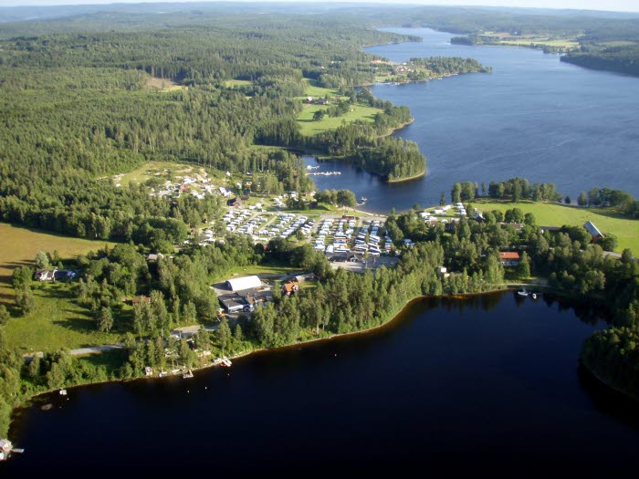
The hiking trail is in the northwestern part of the Bengtsfors municipality. Torrskogsleden will take you along old paths and roads through Skogsdal's wilderness and across hills with far-reaching views. At Ramsbytjärnen you pass beautiful meadows and pastures, cultural fields with roots dating to the Iron Age’s cultivation landscape.
The hiking trail
Length: 25 km
Type of trail: Loop
- Parking
- Wind shelter
- Fire place
- Small tower for lookouts
For the entire trail, two days of hiking are recommended. It is possible to shorten the hike to one day and even shorter tours. The trail runs like a figure eight, which makes it easy to shorten your hiking trip. This trail gives you the opportunity to take a stop old croft ruins and listen to birds like the black-throated diver.
Map and information in Swedish
Find the trail
From Bengtsfors - drive north towards Lennartsfors and Torrskog along the western side of lake Lelång. Turn left when you reach the church in Torrskog and park at Torrskog's community center (Torrskogs bygdegård) - signed from the road.
GPS: 59.16893, 12.07630
Bengtsfors kommun
666 30 Bengtsfors
Phone: +46 531 526355
E-mail: turist@bengtsfors.se
Website: To homepage


