Hiking in Alingsås
- 26 Jun, 2024
- Source: Alingsås tourist office
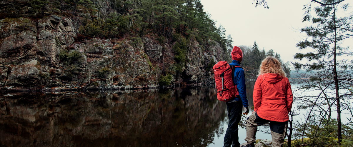
Explore the beautiful surroundings around Alingsås by hiking. On this page you can read more about Alingsås top five hiking trails.
Gotaleden
A scenic hiking trail spanning nearly 70 kilometers from Gothenburg to Alingsås, passing through four municipalities. Offers serene forests, Lake Mjörn views, and vibrant areas like the naturereserve Kongo, with nine easily accessible stages.
Potatisleden
A diverse 15-kilometer trail around Alingsås urban area, marked with orange signs. Winds through forests, villa areas, and Stadsskogen, providing scenic paths and varied terrain, with transportation options via city buses.
Risvedenspåret
Offers deep forests, expansive views, and clear lakes. Winds through woodlands with historical sites and stunning viewpoints like Klevsjöloft. Passes pristine lakes, including Grönavatten, known for its remarkable 18-meter visibility. Features diverse nature and dramatic landscapes with steep elevations.
Dammsjöåsleden
A tranquil trail between Ängabostugan and Dammsjöås, around 6.8 kilometers long. Passes through deep forests, soft trails, and serene moss-covered landscapes. Marked with yellow signs, with picturesque views over Maryds village.
The Vildmarksleden
A trail located near Alingsås city center in the popular Hjortmarka outdoor area, offers a wilderness experience despite its proximity to the city. With its well-marked 10-kilometer route, hikers traverse deep forests, encounter untouched nature, and can enjoy scenic viewpoints and wildlife sightings along the way.


